


.jpg)


![The breaking news round-up: Decagear launches today, Pimax announces new headsets, and more! [APRIL FOOL’S]](https://i0.wp.com/skarredghost.com/wp-content/uploads/2025/03/lawk_glasses_handson.jpg?fit=1366%2C1025&ssl=1)


NASA uses GPS on the moon for the first time
Blue Ghost’s LuGRE system paves the way for astronauts navigating the lunar surface. The post NASA uses GPS on the moon for the first time appeared first on Popular Science.

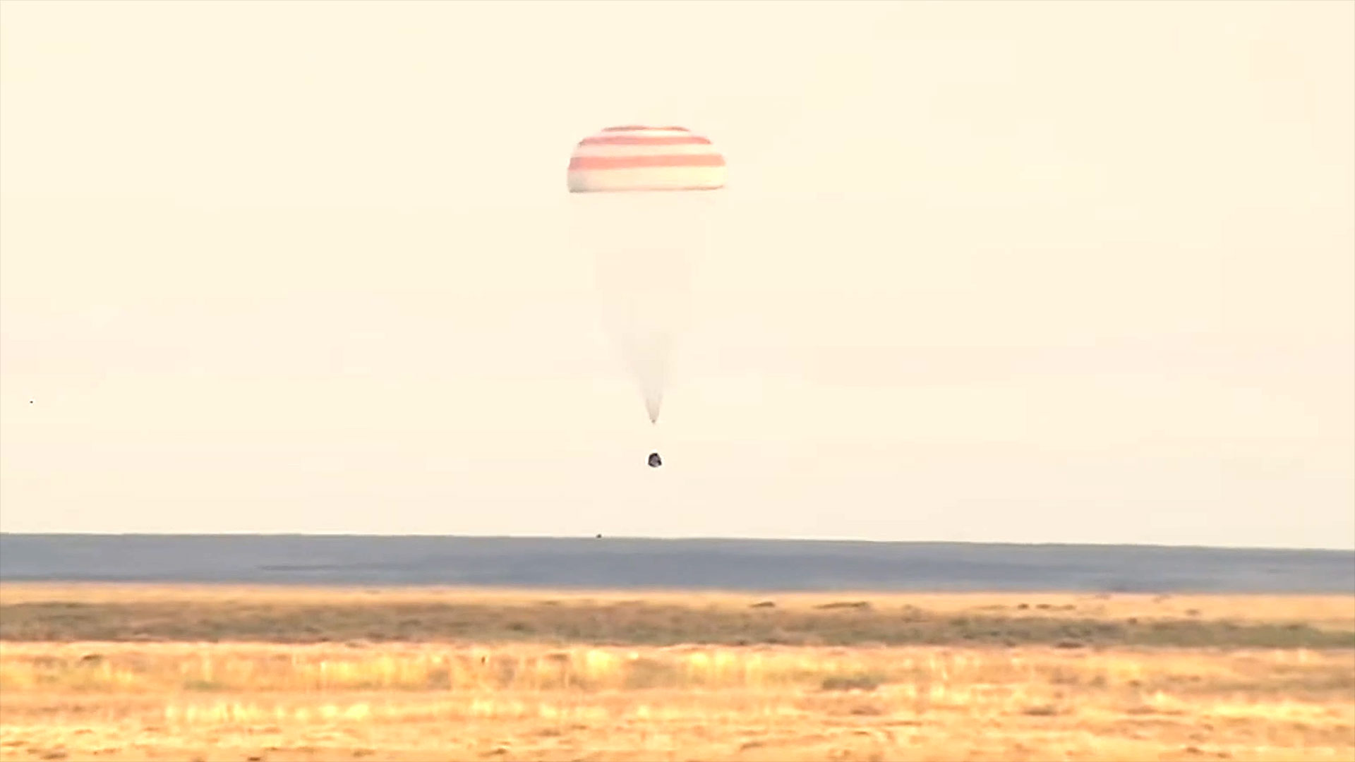
On March 2, Firefly Aerospace’s Blue Ghost made history, becoming the first commercial lunar lander to successfully touchdown on the moon’s surface. The groundbreaking lander is wasting no time in getting to work. According to NASA, the joint public-private mission has already successfully demonstrated the ability to use Earth-based GPS signals on the lunar surface, marking a major step ahead of future Artemis missions.
Accurate and reliable navigation will be vital for future astronauts as they travel across the moon, but traditional GPS tools aren’t much good when you’re around 225,000 miles from Earth. One solution could be transmitting data from the Global Navigation Satellite System (GNSS) to the lunar surface in order to autonomously measure time, velocity, and position. That’s what mission engineers from NASA and the Italian Space Agency hoped to demonstrate through the Lunar GNSS Receiver Experiment (LuGRE), one of the 10 projects packed aboard Blue Ghost.
However, LuGRE’s achievements didn’t only begin after touchdown on the moon. On January 21, the instrument broke NASA’s record for highest altitude GNSS signal acquisition at 209,900 miles from Earth while traveling to the moon. That record continued to rise during Blue Ghost’s journey over the ensuing days, peaking at 243,000 miles from Earth after reaching lunar orbit on February 20.
NASA currently tracks spacecraft using a mix of onboard sensors and Earth-based tracking signals, but these methods generally require oversight from a team of engineers. Swapping out some of these systems for GNSS data could reduce the need for human operators, since the signals can be autonomously picked up by spacecraft.
“On Earth we can use GNSS signals to navigate in everything from smartphones to airplanes,” Kevin Coggins, deputy associate administrator for NASA’s SCaN (Space Communications and Navigation) Program, said in a statement. “Now, LuGRE shows us that we can successfully acquire and track GNSS signals at the Moon.”
LuGRE relied on two GNSS constellations, GPS and Galileo, which triangulate positioning based on dozens of medium Earth orbit satellites that provide real-time tracking data. It performed its navigational fix at approximately 2 a.m. EST on March 3, while about 225,000 miles from Earth. Blue Ghost’s LuGRE system will continue collecting information over the next two weeks almost continuously while the lander’s other tools begin their own experiments.
The post NASA uses GPS on the moon for the first time appeared first on Popular Science.