


Sols 4488-4490: Progress Through the Ankle-Breaking Terrain (West of Texoli Butte, Climbing Southward)
Written by Lucy Lim, Planetary Scientist at NASA’s Goddard Space Flight Center Earth planning date: Friday, March 21, 2025 It’s the start of spring here in the Northern Hemisphere on Earth, but in Gale Crater on Mars our rover is still heading into the depths of Martian winter. We’re just a few weeks away from […]

3 min read
Sols 4488-4490: Progress Through the Ankle-Breaking Terrain (West of Texoli Butte, Climbing Southward)
Written by Lucy Lim, Planetary Scientist at NASA’s Goddard Space Flight Center
Earth planning date: Friday, March 21, 2025
It’s the start of spring here in the Northern Hemisphere on Earth, but in Gale Crater on Mars our rover is still heading into the depths of Martian winter. We’re just a few weeks away from Mars’ aphelion — the time when it’s farthest from the Sun. The Mars-Sun distance varies more significantly than the Earth-Sun distance because of the greater eccentricity of Mars’ orbit, and its effect on the Martian weather is correspondingly more important.
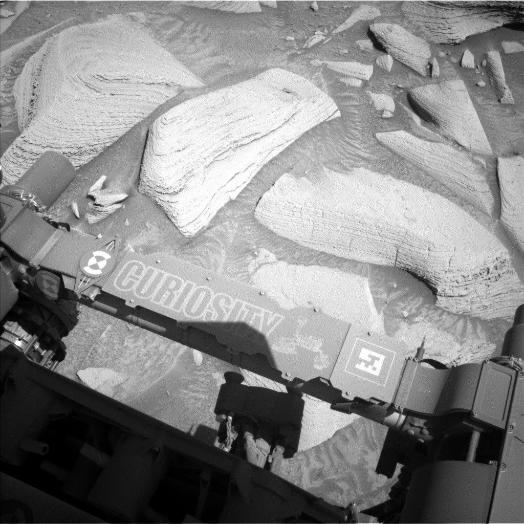
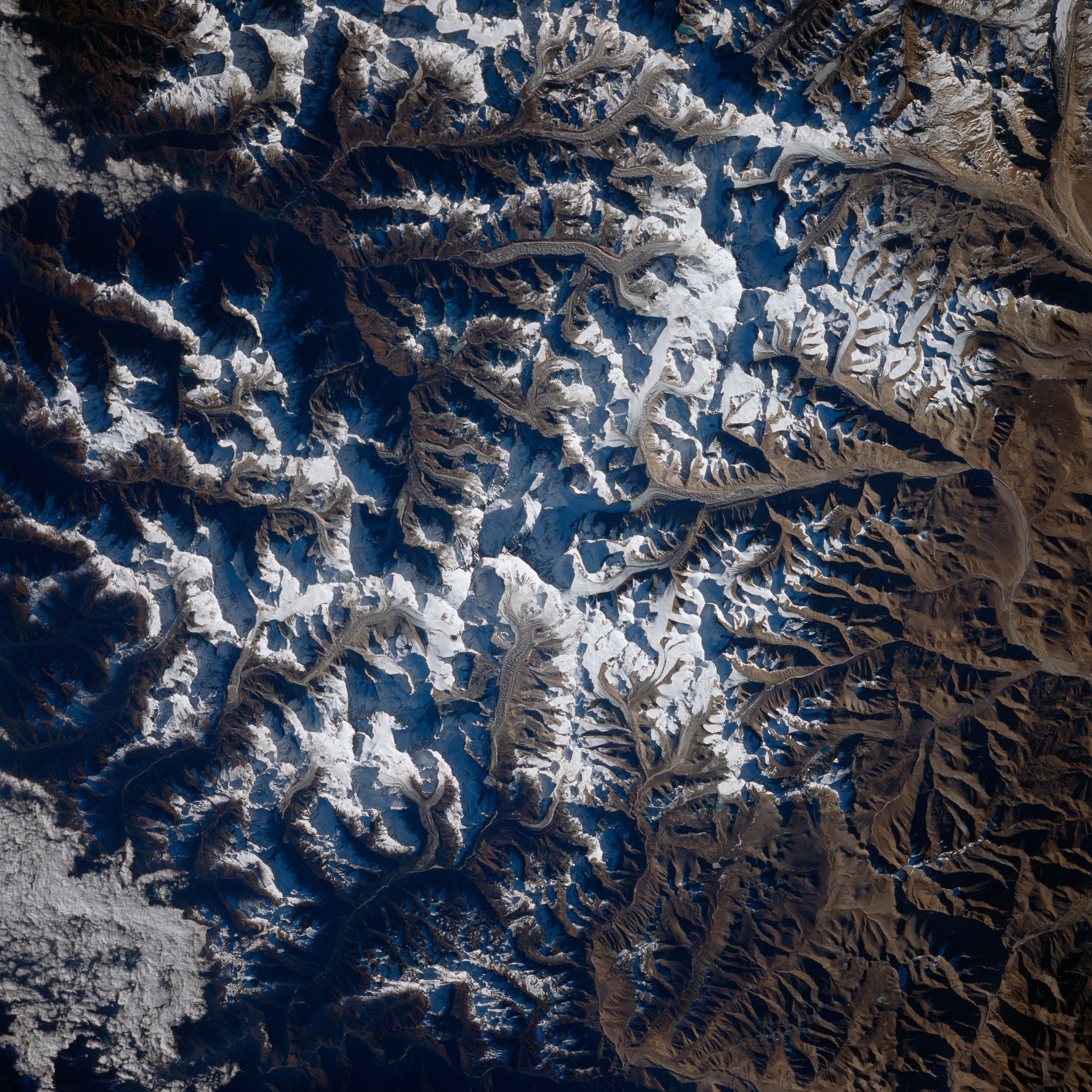
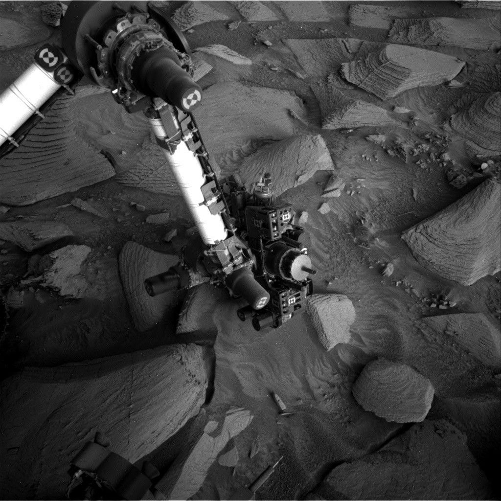
As my colleague mentioned in the previous blog post, the layered sulfate bedrock in this region is broken up into large blocks that often make the driving tough going. The drive in the sol 4486 plan went very well, however, moving Curiosity nearly 35 meters (about 115 feet) southward and upward. Our new workspace is in one of the “light-toned” stripes that can be seen in the orbital imagery and is correspondingly full of light-toned laminated blocks typical of what we’ve seen before in this geologic unit.
For the second plan in a row we were also able to use the rover arm, due to the rover having parked in a stable position — not always a given in this terrain! This enabled us to plan a pair of compositional measurements by the APXS on a bedrock target (“Solstice Canyon”) to assess both the bedrock composition after dust removal and the effect of the ubiquitous dust on the instrument at other locations where the rock cannot be brushed. Our other compositional measurement tool, the LIBS, was also recruited for a co-targeted measurement on Solstice Canyon.
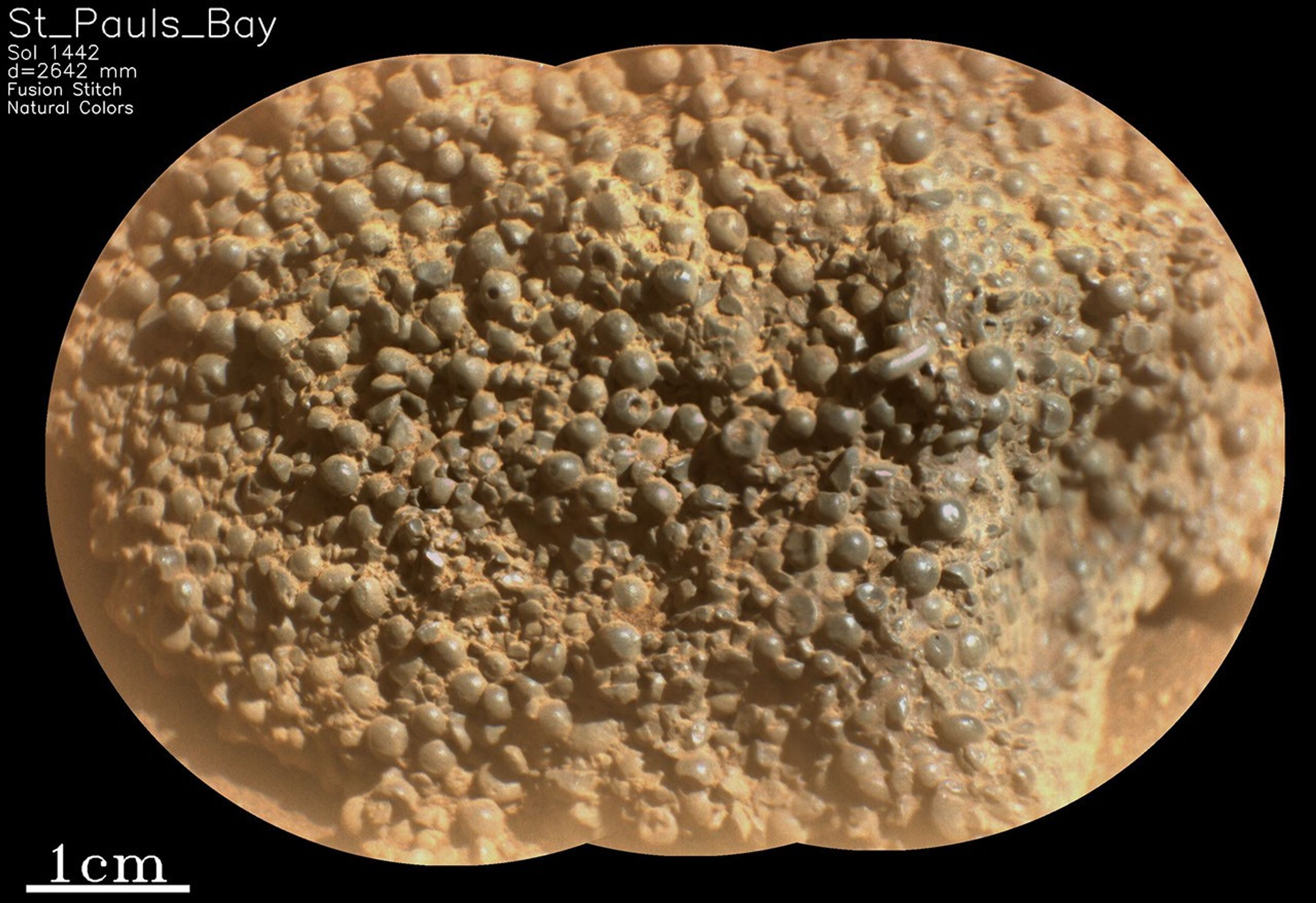
The second LIBS measurement and a MAHLI observation went to the one distinctive, potentially diagenetic, feature visible among all of the light-toned workspace blocks, a small grayish patch that looks like a vein or a coating in the images available at planning (“Black Oak”). The planned observations will give us both the composition and morphology of it in much greater detail.
A long-distance RMI imaging mosaic was planned to investigate some ridges on an as-yet-unnamed butte off to the west. The ridges may be evidence of the same type of diagenetic activity that produced the boxwork structures that are the next major science target for Curiosity. A passive spectral raster was also planned for a potential boxwork region. As we won’t be able to rove to every potential boxwork on Aeolis Mons, longer-distance views such as these can give us a sense of how widespread the boxwork-forming activity may have been.
Mastcam imaging included some follow-up on a hummocky sedimentary feature (“Pino Alto”) and documentation of textures in the nearby local bedrock (“Piedra Blanca”) as well as documentation imagery for the two LIBS targets.
Finally, the modern Martian atmosphere was investigated with measurements by APXS and the ChemCam passive imager to track abundances of argon and oxygen, respectively, as they vary with the Martian seasons.